Varadero
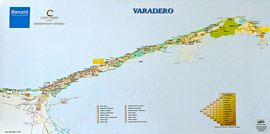
The peninsula of Varadero, on Cuba's north coast about 110km east of Havana, is our last destination before returning to Havana. First developed in the late 1800's, it was an exclusive beach resort for wealthy Cubans who built homes here. After the revolution, Castro opened it up to tourism, and it is very popular with tourists from Canada and Europe, as well as Cubans and even a few Americans like us (and more to come, we expect).
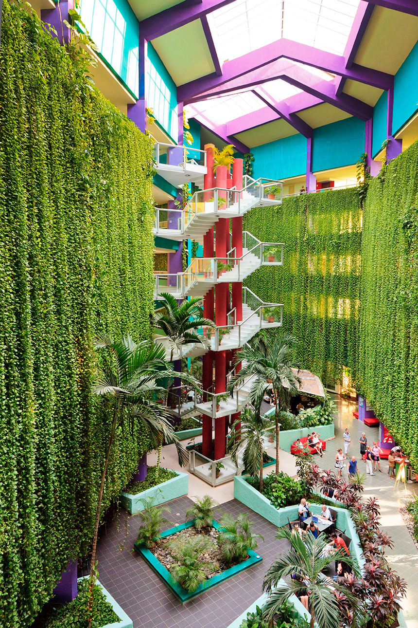
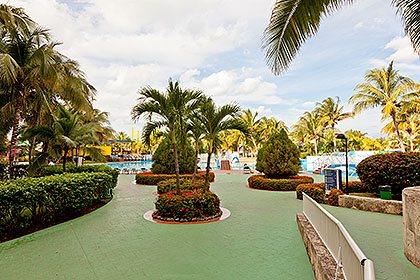
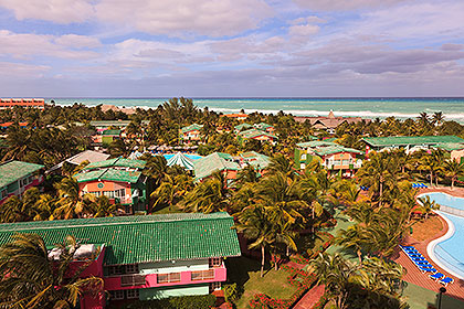
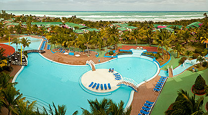
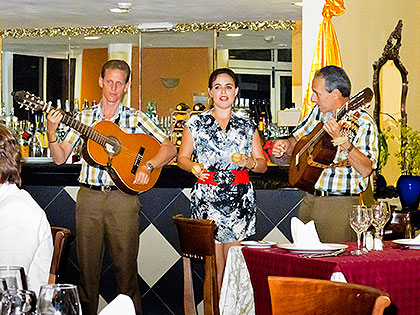
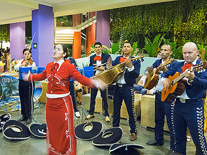
Hotel Barceló Solymar
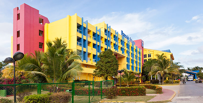
Our hotel is a very large all-inclusive resort, but it is well managed, with just about everything a visitor could ask for.
Off the Reservation
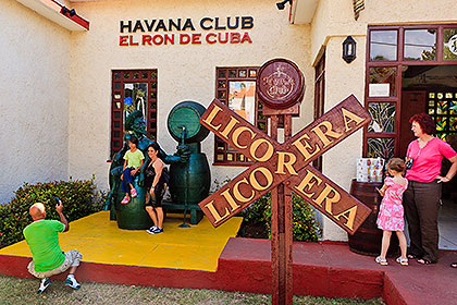
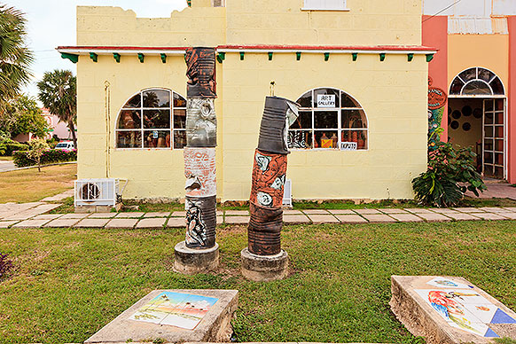
We wander westward from the resort, to see what the town has to offer. We find a pleasant assortment of homes, shops, galleries, souvenir shops and restaurants, similar to resort towns everywhere.

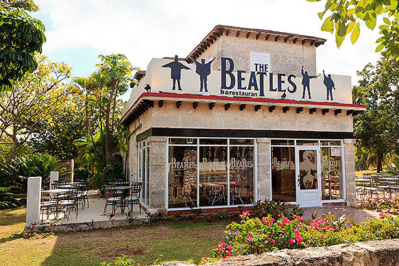
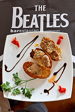
We have a fine light lunch at the Beatles Bar-restaurant.
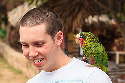
Michael has a parrot encounter.
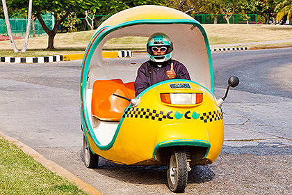
"Coco Cabs" (motorscooter-like trycycles) are readily available.
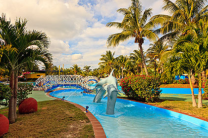
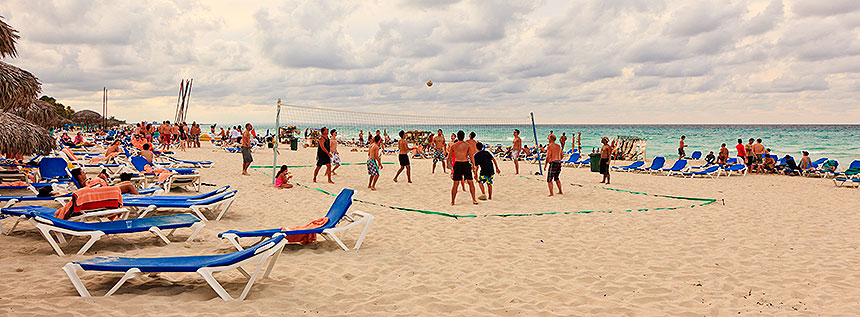
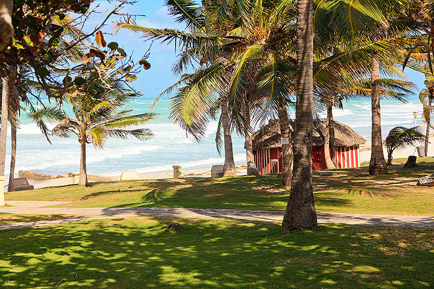
Meanwhile, Back At the Beach
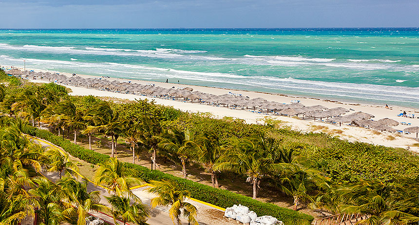
There are plenty of cabanas, and the surf is up!.
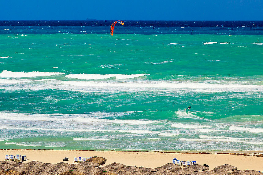
A kitesurfer finds plenty of wind for his sail.
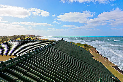
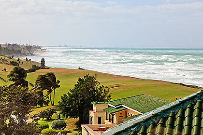
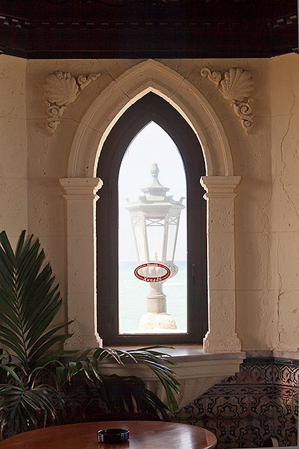
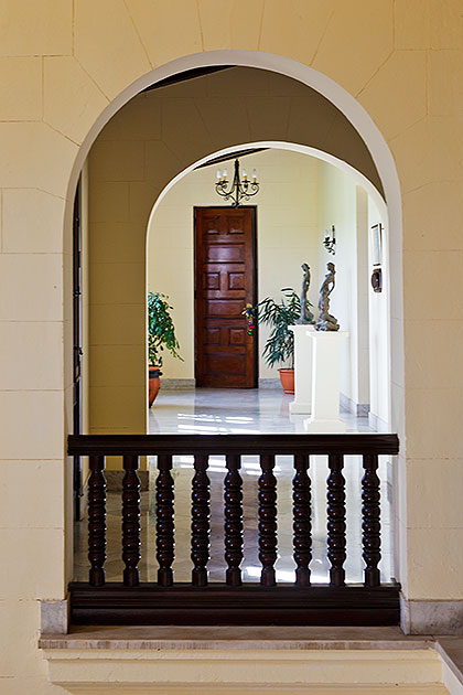
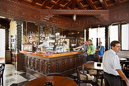
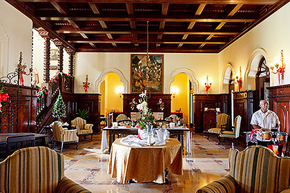
Mansión Xanadú
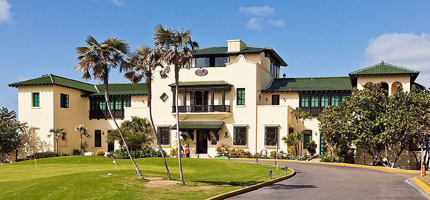
Occupying the highest ground in Varadero, Mansión Xanadú was built around 1929 for American millionaire Alfred Irénée Dupont de Nemours, who by that time had acquired most of the land in the area. After building a golf course, botanical garden, iguana farm and other necessities, he parcelled much of the remaining land out to other Americans and Cubans, profiting handsomely on his investment. Veradero became a haven of gambling and prostitution before the revolution in 1959, when the Castro government took over. The property is now operated as a fine French Restaurant, "Las Americas". Regrettably, we are not dining here, but just visiting.
On the Road Again
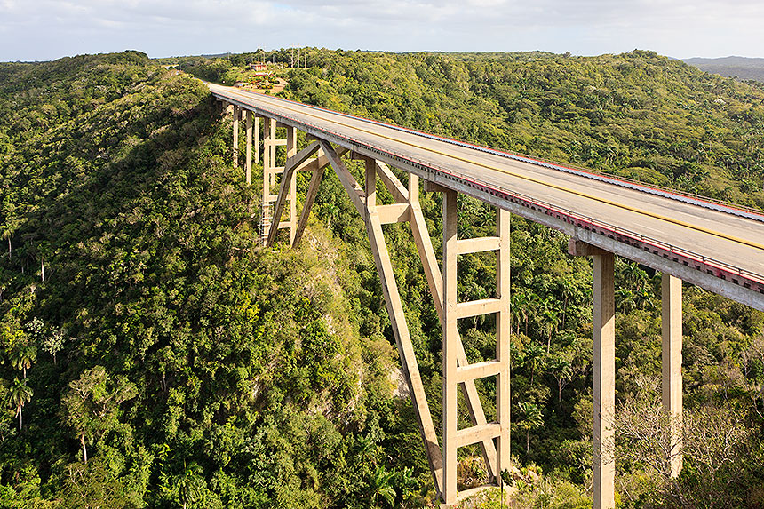
On our way back to Havana now, we stop to photograph the Bacunayagua Bridge, which spans the Yumuri River a few miles west of Matanzas. The Cuban-engineered bridge is the highest in Cuba, at 360 feet above the river.